One of the major features of the Carman/Dufferin landscape is the river that threads its way across the municipalities from the escarpment eastward to the Red River drainage system. The river was known to Mètis fur trader and buffalo hunters as the Rivière aux Îlets-de-Bois; early settlers renamed it the Boyne River, the name it still carries today.
For centuries before the arrival of outside traders and settlers the river, with its heavily forested banks, was a source of fresh water, fuel, wild fruit, medicinal plants and small game for early Indigenous hunter-gatherers. In the post-1870 era, it served as a primary source of water for homesteads and settlements that grew up along its length. A local water-powered mill saved early settlers long trips to larger settlements at Nelsonville or Emerson to grind grain for flour and feed. It also provided lumber for building and helped pave the way for development of the Town of Carman.
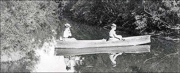
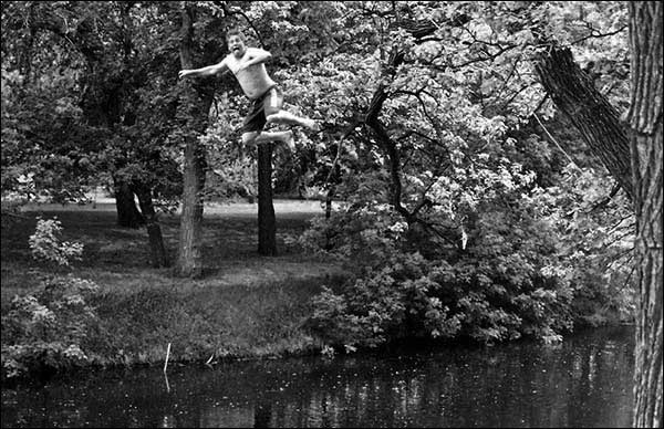
Since then, the river has served as a major source of water, outdoor recreation, irrigation and wildlife management. It also has brought concern for floods, water management, and pollution, along with awareness of the need to protect the natural riverbank environment and local wildlife corridors.
A local group, the Boyne River Keepers, began exploring options for revitalizing the river. As part of this process, they asked C/D MHAC to provide a brief history of the river. Here is our overview of the features of the river that have made it one of the major contributors to quality of life in the Carman/Dufferin municipalities.
Boyne River
Boyne River is a major feature of the Carman/Dufferin landscape. It also is one of the common threads running through our local history. With its heavily forested banks, the river was a source for fresh water, fuel, wild fruit and small game for early indigenous camps. Later, as the Riviére aux Îlets-de-Bois, it became an oasis where hunters and fur-traders following the Missouri Trail repaired their Red River carts or come in springtime to harvest the syrup of maple trees. After 1870, the river and its environs became a prime destination for an influx of Anglophone homesteaders who renamed it the ‘Boyne’.
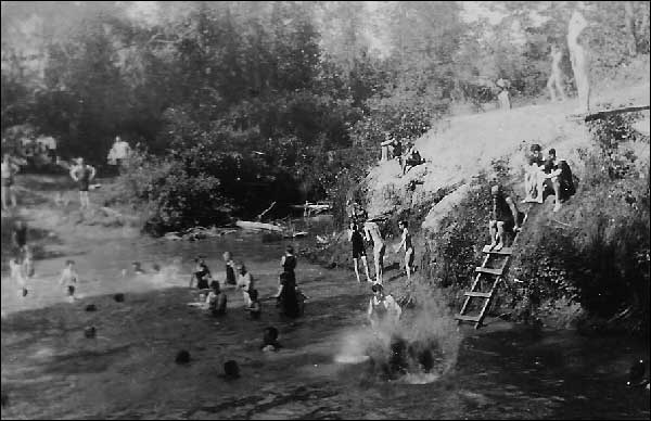
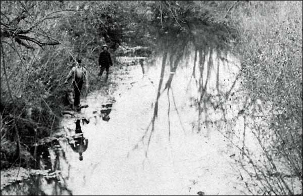
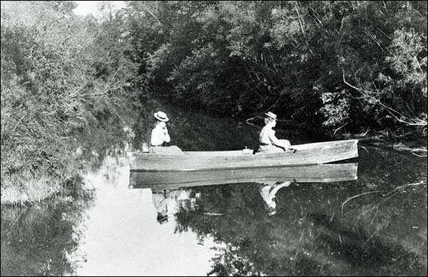
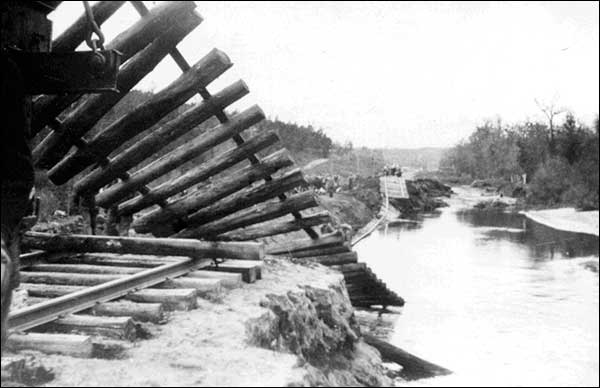
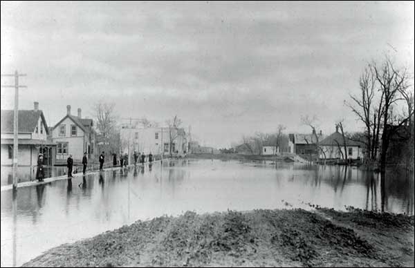
In more recent history, the river has powered a flour and lumber mill, served as a source for town water and as a popular, well-used swimming hole. Until a diversion was built around the Town of Carman, floods periodically devastated the town. In the process, flood waters destroyed many early records; they also provided striking images of the power of Mother Nature.
The swimming hole site now has a commemorative sign, and local groups are working to restore recreational use of the river.
History of the Boyne River. The story begins centuries ago when glacial Lake Agassiz receded, leaving behind an expanse of rich prairie soil and a winding stream that drained the land between the western escarpment and the Great Marsh1 east of present-day Carman. From there, the water flowed into the larger Red River drainage system. Although the Great Marsh itself was drained in the early 1900s, the river remains a key factor in local water management and a major feature of the Carman/Dufferin landscape. Of equal significance is the role the river has played in our local heritage.
The river, with its heavily forested banks, was a source of fresh water, fuel, wild fruit, medicinal plants and small game for early Indigenous hunter-gatherers. During the era of the fur trade and western exploration, larger rivers and waterways provided the fastest and most efficient means of transportation. Although our river was too shallow and meandering to serve as a major transportation route, it played a crucial role in the history of that era.

